Climbing
Destinations
CA, US
WILLIAMSON ROCK
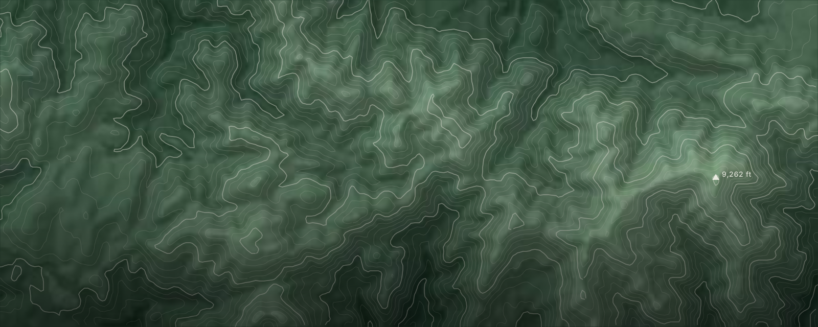
San Gabriel Mountains sport climbing — granite walls above the Angeles forest
1
Sport
7,000 ft
Elevation
Williamson Rock is one of Southern California's most enduring sport climbing destinations, tucked into the Angeles National Forest above Los Angeles. The rock is granite, which offers surprisingly solid climbing for the San Gabriels, and the routes range from welcoming moderate sport lines to more demanding challenges on walls like the Pyramid, London Wall, and Waterfall Wall. The Stream Wall and Ramblin' Wall round out the main venues, and the Mushroom Boulder adds a bouldering component. Note: the area has been closed to climbing since December 2005 due to critical habitat for the mountain yellow-legged frog — check Access Fund for reopening updates before planning a trip.
1 sport to explore
ADVENTURE SPORTS IN WILLIAMSON ROCK
The hit list
TOP SPOTS
The places you can't miss in Williamson Rock, best rated first.
Climbing
Pyramid, The
Climbing
London Wall
Climbing
Waterfall Wall
Climbing
Stream Wall
Climbing
Mushroom Boulder
Plan the trip
GETTING THERE
A car is essential — no public transit reaches the area. Access is via SR-2 (Angeles Crest Highway), a winding two-lane mountain road subject to seasonal closures and rockfall. Check Caltrans QuickMap before every trip. An Adventure Pass ($5/day or $30/year) is required for parking in the Angeles National Forest. Cell reception is sporadic throughout the corridor.
Airports
- BURHollywood Burbank Airport1 hr drive
- ONTOntario International Airport1 hr drive
- LAXLos Angeles International Airport1 hr 30 min drive
Honest take
THE GOOD & THE REAL
Why Williamson Rock
4- ~300 quality routes from 5.6 to 5.13 — one of the most route-dense crags in SoCal
- Day-trip accessible from the Los Angeles metro area
- 7,000-foot elevation provides a summer escape from LA valley heat
- Solid granite with primarily bolted sport climbing
Know this
4- Closed to all climbing since December 2005 due to endangered mountain yellow-legged frog habitat
- Few top-rope opportunities without leading — you must be a competent leader
- SR-2 is a winding mountain road with seasonal closures and rockfall hazards
- No services at the crag; cell reception unreliable
For Families
FAMILY FRIENDLINESS
6/10
Good for families
10 family-scored spots; overall 6/10.
Family-friendliness is scored from real web evidence across multiple sources — trail difficulty, access, and how families describe each spot — not a single opinion.
Best bets with kids
Schabarum Extension Trail
8/10medium confidence
This is a short trail that provides access to scenic ridgelines.
Devil's Punchbowl Trail
8/10medium confidence
This trail is described as family-friendly and accessible for children. Be aware that water access may require extra planning.
Ahwingna Trail
8/10high confidence
This is an easy hiking trail suitable for families. The initial segment is relatively level, though steeper terrain exists further along.
Schabarum-Skyline Trail - Extension Connector
6/10low confidence
The trail is scenic, but the initial miles have sketchy parts, loose dirt, and overgrown weeds.
Schabarum-Skyline Trail - Azusa/Colima Connector
6/10low confidence
The park offers facilities for youth camping, picnics, and organized youth sports. However, the specific trail segment can have loose dirt and overgrown areas.
Rowland Heights Loop Trail
6/10low confidence
This trail has clearly marked paths and level terrain, making it suitable for kids and families.
Rowland Heights Connector Trail
6/10low confidence
This trail features easy and gentle paths perfect for kids and the whole family. Be aware that the trail is highly exposed.
Native Oak Trail
6/10low confidence
The Native Oak Loop Trail is short and has clear markings. It is relatively narrow and traverses hillsides with low-growing chaparral.
Cucamonga Peak Trail
5/10medium confidence
This is a strenuous trek requiring 10-12 miles and significant elevation gain. The section to the peak is best for experienced hikers due to being steep, rocky, and exposed.
Juan Bautista de Anza National Historic Trail
5/10low confidence
This is a historical route covering diverse landscapes. Specific details regarding terrain difficulty or amenities for children are not provided.
By Sport
SEASON BY SPORT
| Sport | Jan | Feb | Mar | Apr | May | Jun | Jul | Aug | Sep | Oct | Nov | Dec |
|---|---|---|---|---|---|---|---|---|---|---|---|---|
| Climbing | — | — | — | ✓ | ✓ | ✓ | ✓ | ✓ | ✓ | ✓ | ✓ | — |
✓
Peak~
Shoulder—
OffOn the Ground
LOCAL RESOURCES
storefrontGear Shops
- Mad Rock HQ (Santa Fe Springs)
- REI (multiple LA-area locations)
tourGuide Services
- Rock Climb Every Day
- SAANO Adventures
- Golden State Guiding
restaurantFood & Drink
- Grizzly Cafe (Wrightwood)
- Mountain Top Cafe (Wrightwood)
- Mexico Lindo (Wrightwood)
- Blue Ridge Inn (Wrightwood)
Plan it
GO TO WILLIAMSON ROCK.
You've got the field notes. Time to put it on the calendar.