Hiking★ 5.0
Bright Angel Trail
Main corridor trail from the village to Plateau Point, the river and Phantom Ranch; resthouses and seasonal water along the upper trail. Check the NPS page for current closures.
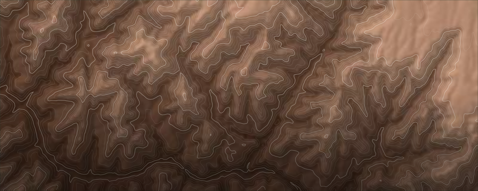
Rim walks, corridor trails to the river, and the canyon's remote Temples for experienced backcountry parties.
The South Rim of Grand Canyon National Park is the busiest side of the canyon, with Grand Canyon Village, the Bright Angel and South Kaibab corridor trails, the paved Rim Trail, Hermit Road and Desert View Drive. Tusayan, just outside the south entrance, is the main gateway for lodging and food. Below the rim, the canyon's named Temples, including Zoroaster, Brahma, Isis, Shiva and Buddha, are remote summits reached by long off-trail approaches; they are objectives for experienced, self-sufficient parties with a backcountry permit. Rafting the Colorado River and hiking at Havasupai are separate permit systems, covered below.
The places you can't miss in Grand Canyon South Rim, best rated first.
Main corridor trail from the village to Plateau Point, the river and Phantom Ranch; resthouses and seasonal water along the upper trail. Check the NPS page for current closures.
Steep ridge-line trail with long views and little shade or water; rangers advise using it for the descent only.
Overnight at Bright Angel Campground or Phantom Ranch, both needing reservations or a backcountry permit, with a permit lottery on Recreation.gov for the camping.
Steep, unmaintained backcountry trail from about 0.25 mi past Hermits Rest (8 miles west on Hermit Road). It drops almost 2,000 ft in the first 2.5 miles; Santa Maria Spring is 2.5 mi down and Dripping Springs 7 mi down. NPS lists the full trail to the river at 19.4 mi round trip and advises against doing it as a day hike; overnight use needs a permit.
Built in 1893 as a mining route; starts at Grandview Point about 12 miles east of the village on Desert View Drive. NPS describes it as rocky, exposed and strenuous, harder than Bright Angel, South Kaibab or Hermit. Coconino Saddle is about 2.2 mi round trip and Horseshoe Mesa about 6.4 mi round trip; no reliable water on the way.
Wikipedia gives the first ascent as Rick Tidrick and Dave Ganci in September 1958 via the NE Arete (5.9+). Long off-trail approach.
Remote temple on the east side of the canyon; sources disagree on the first ascent, so check before relying on history.
Summit of about 7,006 ft (Wikipedia mirror; TopoQuest 7,004 ft) in the central canyon near Cheops Pyramid. Sources disagree on first ascent (one credits Alan Doty in 1970, another says only two ascents, from the North Rim side). Routes run through the Phantom Creek and Trinity Canyon area; a trip report describes a three-day outing from South Kaibab with a 5.8 R crux. Experienced parties only.
Park in Grand Canyon Village and use the free NPS shuttles. The Hermit Road route is the only motorized access to Hermits Rest from March 1 to November 30, and the Hiker's Express runs from Bright Angel Lodge via the Backcountry Information Center and visitor center to the South Kaibab Trailhead. Shuttles do not run the length of Desert View Drive (it is the only scenic South Rim road open to private vehicles all year), so drive or take a bus tour to Desert View Watchtower. A Tusayan route also runs from the gateway town. A car is needed to reach Flagstaff, the other rim trailheads and Havasupai. Drive distances from cities are estimates. Check NPS for current closures: the NPS notes that the North Rim highway (AZ 67) has been closed after the Dragon Bravo Fire.
Small commercial airport with limited scheduled service; carriers change, so check before booking. Distance and time are estimates.
Major hub with the widest choice of flights; drive time is an estimate.
Major hub, useful for multi-stop Southwest trips; drive time is an estimate.
| City | Distance | Drive to Grand Canyon South Rim |
|---|---|---|
| Flagstaff, AZ | about 80 mi | about 1h 30m (estimate) |
| Phoenix, AZ | about 230 mi | about 3h 30m (estimate) |
| Las Vegas, NV | about 280 mi | about 4h 30m (estimate) |
| Salt Lake City, UT | about 500 mi | about 7h 30m (estimate) |
| Albuquerque, NM | about 410 mi | about 6h (estimate) |
What a trip to Grand Canyon South Rim costs, what to sort out ahead of time, and how to stay safe.
Standard US entry rules; ESTA for Visa Waiver Program countries.
Carry water and salty food, start early, and plan the climb out before you descend. Rim elevation is about 7,000 ft, so allow time to adjust.
A national park with historic lodges in Grand Canyon Village and many Native American homelands; Havasupai is tribal land with its own rules.
Heat is the main danger.
Rangers recommend hiking down South Kaibab only because it has no water, and using Bright Angel for the hike out.
Temples climbing needs off-trail navigation, self-rescue and a leave-a-plan contact.
Easy on the rim, hard below it: the village, Rim Trail and shuttle suit young children, while trails into the canyon are for older, fit kids. Judgement call; overall 6/10.
Family-friendliness is scored from real web evidence across multiple sources — trail difficulty, access, and how families describe each spot — not a single opinion.
The paved, mostly level Rim Trail follows the canyon edge from the village and has sections that work for strollers, so families can see the canyon without any descent. Keep young children well back from the edge, which is mostly unfenced.
An easy walk from the visitor center to one of the most popular viewpoints, with shuttle access. A good first stop with kids.
From March through November the free Hermit Road shuttle is the only motorized way along the rim viewpoints, so families can hop on and off at overlooks without driving. Allow a few hours.
A stone tower at the east end of Desert View Drive with canyon views from inside and out. It is reached by car or a bus tour, so plan a half day.
Families can walk down a short way and turn around, and the NPS sets out resthouses along the route. The trail is steep and every step down is a step back up, so go early, carry plenty of water, and watch for mule trains.
A short out-and-back below the rim gives big views, but there is little shade or water on this trail and rangers advise hiking down it only. Judgement call: best for older children who are used to hiking.
| Sport | Jan | Feb | Mar | Apr | May | Jun | Jul | Aug | Sep | Oct | Nov | Dec |
|---|---|---|---|---|---|---|---|---|---|---|---|---|
| Hiking | — | — | ✓ | ✓ | ✓ | — | — | — | ~ | ~ | ~ | — |
| Running | — | — | ✓ | ✓ | ✓ | — | — | — | ~ | ~ | ~ | — |
| Climbing | — | — | ✓ | ✓ | ✓ | — | — | — | ~ | ~ | ~ | — |
| Kayaking | — | — | ~ | ✓ | ✓ | ✓ | ✓ | ✓ | ✓ | ✓ | ~ | — |
| Mountain Biking | — | — | — | ~ | ✓ | ✓ | ✓ | ✓ | ✓ | ✓ | ~ | — |
Spring and fall are the most tolerable for rim and Inner Canyon travel. NPS: rim summer highs are typically in the 80s F; Inner Canyon in July runs near 104-106 F in the shade table.
Cooler, with hazards of ice on upper switchbacks and early dark; the Hermit Road shuttle runs March 1 to November 30.
Inner Canyon summer heat is dangerous (July highs near 104-106 F on NPS tables). Rim winters bring snow and lows in the teens with highs in the 40s (NPS), so trails can be icy.
Historic lodges at the rim (El Tovar, Bright Angel Lodge, Maswik, Kachina, Thunderbird, Yavapai), the Rim Trail and shuttle hub; busy and book-early (the main lodges open about 13 months ahead).
Stay here if: You want to walk to the rim and to the Bright Angel trailhead for sunrise and sunset.
Gateway town just outside the south entrance with chain hotels and restaurants; a shuttle route links it to the park. Judgement call on character: functional rather than charming.
Stay here if: You want more lodging choice or lower prices than the village, and can handle the entrance line.
Route 66 town on I-40 about 60 miles south of the village (about an hour's drive), with independent restaurants and motels; judgement call: a cheaper base if the park lodges are full.
Stay here if: You are arriving from I-40 or want more dining variety than Tusayan offers.
Quiet east end of Desert View Drive near the Watchtower, with a campground and a small services area.
Stay here if: You want fewer crowds and sunrise at the east side.
University and outdoor town about 80 miles away with its own destination page, many hotels and restaurants and the nearest airport.
Stay here if: You are combining the canyon with other northern Arizona trips or want a cheaper base.
Downtown Flagstaff shop, about 80 miles from the South Rim, selling and renting hiking, climbing and camping gear.
Full-service outdoor store in Flagstaff with climbing and backpacking gear.
NPS-listed rental desk for camping and backpacking gear; reservations up to six months ahead (928-638-2262 ext 127), paid in advance with a refundable deposit. Confirm current operator and hours.
Mail-order camping and backpacking gear rental with a Grand Canyon shipping program.
Flagstaff-based guide service for multi-day Southwest backcountry trips (fsguides.com).
Guided climbing in northern Arizona (kokopelliclimbing.com).
Guided Grand Canyon hikes including mule-assisted rim-to-river trips (wildlandtrekking.com).
One of the NPS-authorized commercial concessioners running 3-18 day Colorado River trips, Lees Ferry to Diamond Creek.
NPS-listed commercial river concessioner for multi-day Grand Canyon trips.
NPS-listed commercial river concessioner; trips in motorized, oared and paddle rafts and dories.
NPS-listed commercial river concessioner for multi-day trips.
Half-day and full-day smooth-water trips from Lees Ferry to Horseshoe Bend, starting in Page, AZ.
Casual meals in Grand Canyon Village, close to the Bright Angel trailhead.
Sit-down dinner at Bright Angel Lodge; reservations are a good idea.
Long-running coffee shop in Flagstaff, a stop on the drive in.
Downtown Flagstaff brewpub for food and beer before or after a trip.
Most formal dining at the rim; reservations accepted and recommended for dinner.
Casual breakfast, lunch and dinner in Grand Canyon Village.
Tusayan; a published listing gave mains of about $10-$20 at lunch and $11-$30 at dinner (check current menu).
Casual locally owned spot in Williams, a better-variety dining stop than Tusayan according to one guide.
You've got the field notes. Time to put it on the calendar.